Making data collection more effective with 3D scanners
This three-dimensional representation of a gully at Glen Bowen Station helps scientists understand what soil is being washed away during rain events, and how best to remediate the gully to stop the erosion. Learn how CSIRO Spatial Analyst Anne Henderson produced it in the main video (right).
Portable laser scanners, such as handheld 3D scanners and mobile LiDAR systems, have transformed the 3D mapping industry.
Their advantage over typical 3D mapping technology includes mobility, flexibility to be used in a wide range of environments and industries, and are easy to use.
These devices capture highly detailed 3D models of objects and environments using laser technology, delivering accurate data for a range of applications.
The Australian and Queensland governments are investing millions of dollars on gully rehabilitation to help reduce excess fine sediment delivery to the Great Barrier Reef (GBR).
There’s an urgent need for:
- prioritisation of active gullies for rehabilitation; and
- development of methodologies to inform the effectiveness of remediation.
Detailed understanding of gully erosion processes is critical for monitoring gully remediation.
Hand-held laser scanning systems enable rapid ground-based data to be captured at centimetre precision. This helps quantify the treatment of effectiveness.
This video shows how CSIRO is using mobile LiDAR to gather information about gully erosion and remediation effectiveness.
Features are scanned from different angles by using a mix of ‘closed loops’ and ‘random walks’ as demonstrated by NQ Dry Tropics Senior Project Officer – Wetland Waterways and Coasts Team Dr Carlo Mattone.
CSIRO Spatial Analyst Anne Henderson explains how mobile LiDAR is a useful tool to help monitor gully systems.
CSIRO produces an annual report to present the monitoring results for control and treatment gully rehabilitation projects on four properties in the BBB catchment area, on behalf of the LDC project.
They are Strathbogie, Mt Wickham, Glen Bowen, and Havilah.
The aim is to evaluate the performance of the rehabilitation approaches and find out if they’re effective at reducing erosion.
CSIRO Spatial Analyst Anne Henderson explains how a handheld laser is a useful tool to help monitor gully systems. She is standing with NQ Dry Tropics Senior Project Officer – Wetland Waterways and Coasts Team Dr Carlo Mattone at a Glen Bowen Station site.
Collecting water samples in the BBB has its own surprising rewards
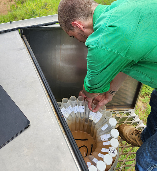
Protecting Biodiversity Project Officer Jake Bowyer takes samples from CSIRO’s Mt Wickham Station monitoring station.
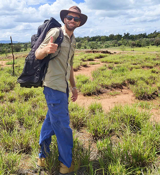
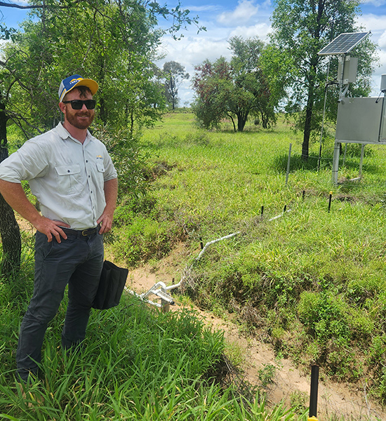
NQ Dry Tropics Senior Project Officer – Wetland Waterways and Coasts Team Dr Carlo Mattone at Glen Bowen Station.
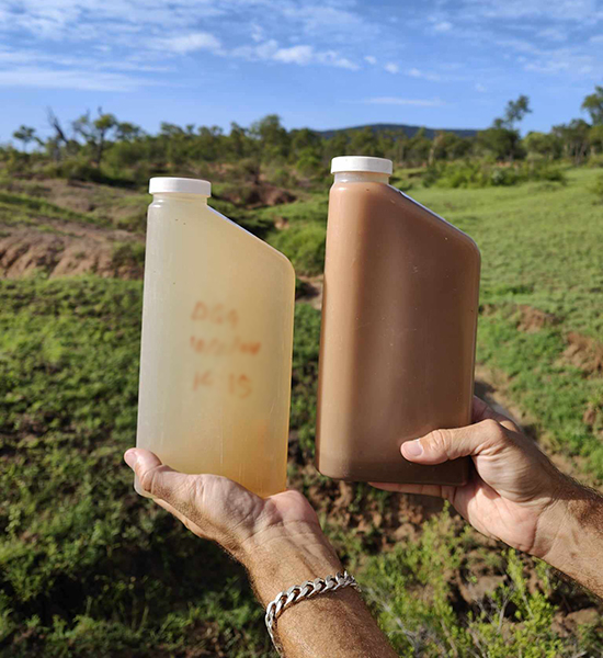
The effect of the gully treatment is obvious… samples from the treated gully (left) and the control, or untreated, gully.
Waterways, Wetlands and Coasts project officer Darcy Roeger at Havilah Station with CSIRO monitoring equipment.
The BBB catchment is big. It covers an area of 11,718 km2, which makes collecting water samples a major undertaking.
Field officers spend long hours driving and the round-trip often involves an overnight stay. Sites are up to four hours driving time from Townsville.
NQ Dry Tropics Drought Resilience Coordinator Marc McConnell explains why monitoring water quality is important, and shows water samples taken from the control and treatment sites at Glen Bowen Station.
But we wouldn’t swap it for the world. The scenery is beautiful, we see interesting fauna and flora, and get to catch up with the salt-of-the-earth landholders who are working hard to implement best practices.
These photos show NQ Dry Tropics field staff collecting water samples for the CSIRO gully monitoring program.
Officers collect water bottles that were sampled by the automatic stations (ISCO) and replace them.
ISCO Samplers allow the automatic collection of water samplers, are built to withstand harsh environments.
Collected samples are then transported to TropWATER, in Townsville, for analysis.
