Burdekin Major Integrated Project — Gully Maintenance and Monitoring project
Aims:
-
-
- Monitor gully stability and carry out critical maintenance that will provide confidence in investment and sediment savings.
- Generate and share longer-term learnings around timeframes and maintenance costs associated with maintaining gullies in a stable condition.
-
Timeframe:
-
-
- June, 2022 — April, 2025.
-
Funder:
-
-
- The Queensland Government, through the Queensland Reef Water Quality Program.
-
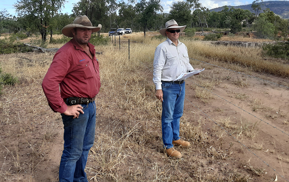
Glen Bowen grazier Christian Cormack (left) and NQ Dry Tropics Environmental Engineer Dan Hazelman inspect a problem gully.
Funding secured to underpin long-term gully maintenance
Between 2017-2020, the Burdekin Major Integrated Project (Landholders Driving Change) completed 25 gully remediation projects (five large-scale and 20 small-scale sites).
Collectively, these gully works treated more than 11,000 linear metres of gullies eroding from 54 gully heads. An estimated 10,500 tonnes of fine sediment was prevented by the works from reaching the Great Barrier Reef each year.
The gully characteristics ranged from small-scale requiring minor interventions carried out by landholders, to large-scale remediation requiring engineered solutions using large-scale earthworks equipment.
The Queensland Government, through the Queensland Reef Water Quality Program, has approved NQ Dry Tropics to use underspend from this tranche of works, and provided additional funding for a total of more than $500,000 to go towards longer term monitoring and maintenance of gully sites.
Monitoring and maintenance work will be carried out from June 2022 to April 2025 and will include three wet seasons.
This project is known as the Burdekin Major Integrated Project Gully Maintenance and Monitoring project.
There is an urgent need to evaluate the most cost-effective methods for reducing the sediment and particulate nutrients generated and delivered from gullies.
Ongoing monitoring is needed to test assumptions on how long treatments will last, required level and frequency of maintenance, and whether reduction in fine sediment exports continues.
The overarching aims of this project are to:
- Monitor gully stability and carry out critical maintenance that will provide confidence in investment and sediment savings.
- Generate and share longer term learnings around timeframes and maintenance costs associated with maintaining gullies in a stable condition over time.
First round of monitoring (end of 2022)
Below is a snapshot of some of the small-scale gullies being monitored and the results from inspections in the latter half of 2022.
These gullies are part of the Scottville Cluster Group involving the Collett, Fordham and Sloan families.
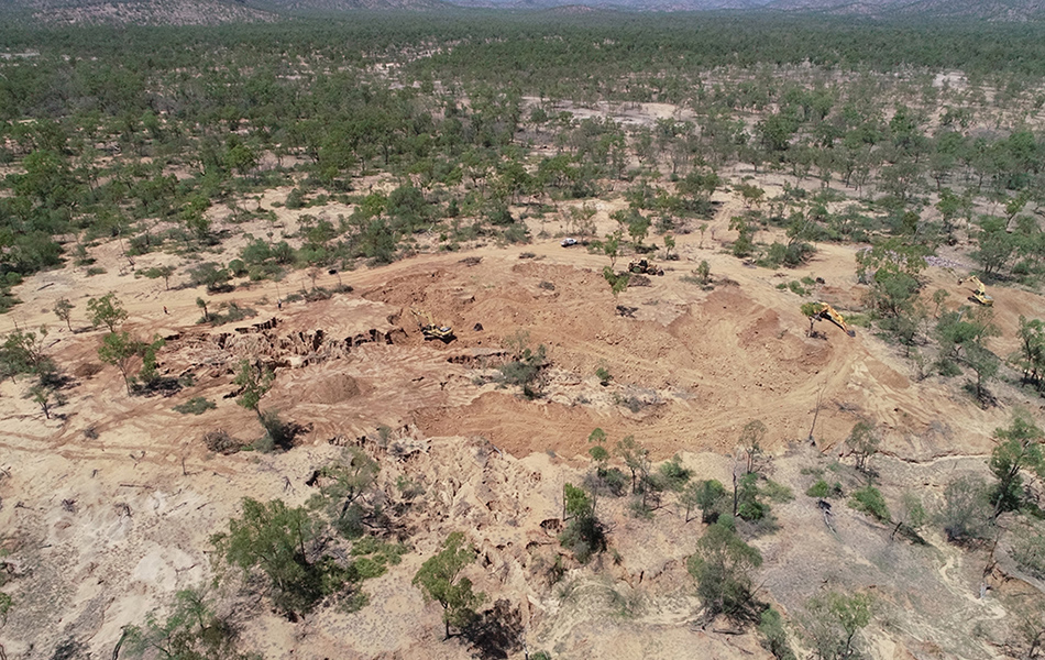
An aerial view of the large-scale gully remediation work while it was in progress at Mt Wickham Station.
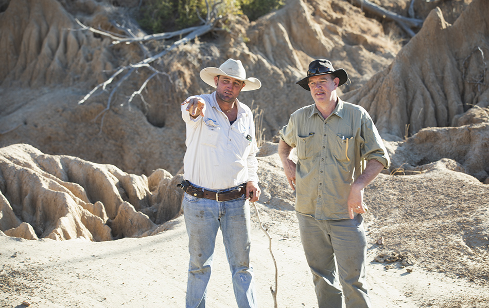
Glen Bowen grazier Christian Cormack (left) and Griffiths University Associate Professor Dr Andrew Brooks examine large-scale gullies on Glen Bowen Station.
TWO MILE
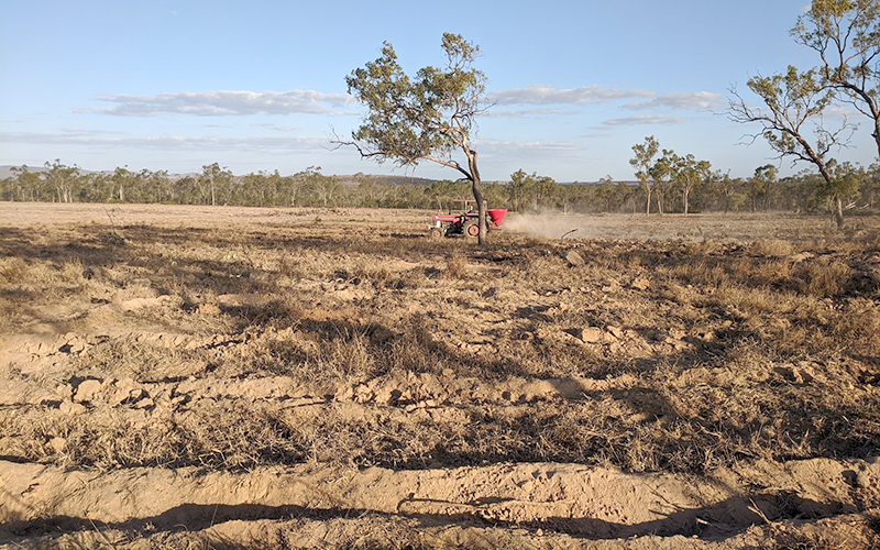
A large gullied area on Two Mile was remediated by contour-ripping the main catchment area to promote infiltration and increase pasture growth.
Brush was planted at the gully heads to encourage colonisation of the gullied area.
Contour ripping and reshaping works were done by the contractor in the 2020 dry season. Following the earthworks, the landholder applied gypsum (5t) and seeded with a pasture mix containing American Buffel grass and a Stylosanthes legume. An electric fence was installed to exclude cattle from the remediated area.
The landholder constructed two rock weirs after the first wet season on the new work and planted Rhodes grass. He built four stick lines below the main log pile to slow water and collect sediment before it entered the lower gully head.
31 August, 2020 — applying gypsum and seeding in the newly-ripped catchment area.
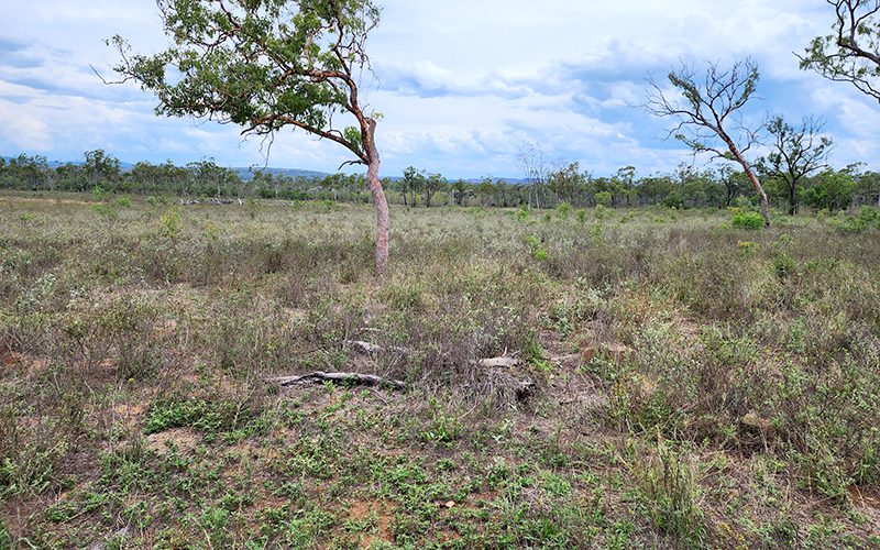
28 October, 2020 — the recovery is spectacular.
ROBINSONS
A scalded site in the catchment of two gullies adjacent to Pelican Creek was remediated by ripping to encourage infiltration and pasture recovery.
Landholders continue to monitor the area to ensure the scalded ground continues “close up” as vegetation re-establishes.
If the natural revegetation process stalls, organic cover could be laid on the bare patches (e.g. mulch, brush) and leaky weirs could be installed in the bare channels to accelerate the recovery process.
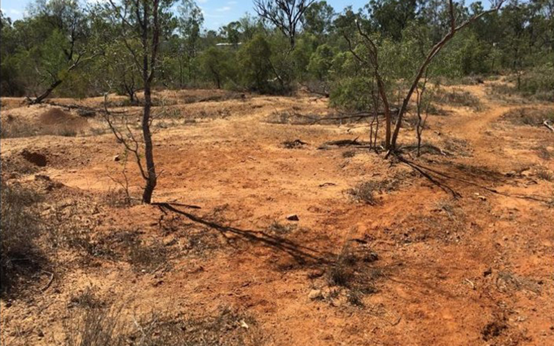
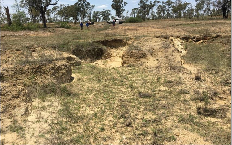
November, 2018 — eastern scald and gully site before work begins.
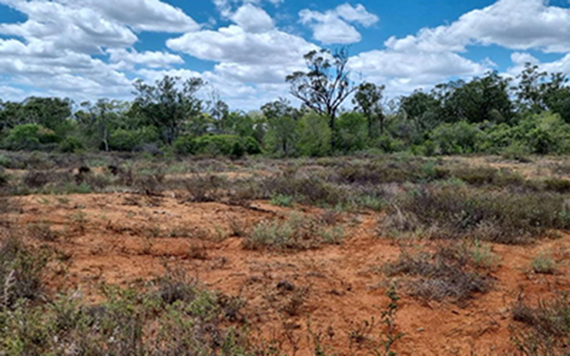
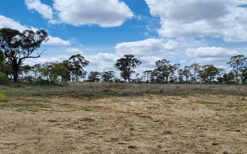
November, 2022 — the eastern scald after treatment.
TODSURE
The Todsure landscape remediation site is a hillslope gully up to a metre deep upslope of an existing dam and about 60m from the watershed and public road.
Remediation in late 2019 by the landholder, a civil contractor, involved two diversion banks joined to form a sediment trap dam, two spreaders, reshaping of the gully head, and ripping and seeding in the catchment above the banks.
The landholder is happy with result of the project as it appears to be working well.
The recommended maintenance on the work will involve some topsoil or organic cover (hay, for example) spread over the bare areas to kickstart vegetation growth if the cover doesn’t increase naturally.
February, 2019 — looking upslope at the main gully site.
November, 2022 — the main gully after reshaping and construction of the settlement dam and diversion banks.
EMOHRUO
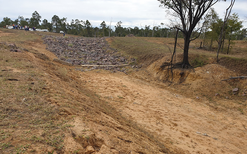
The Emohruo 2019 landscape remediation site is at the eroded bywash of Mine Dam about 500m north of Pelican Creek. Remediation was undertaken in late 2019 by a civil contractor. Works involved:
- widening the bywash, reshaping the banks and installing a rock chute;
- building up the dam wall with the spoil so it is level across its length;
- building a diversion bank on the bench to the north to protect reshaped bywash; and
- contour ripping and reseeding the bench to the north of the bywash.
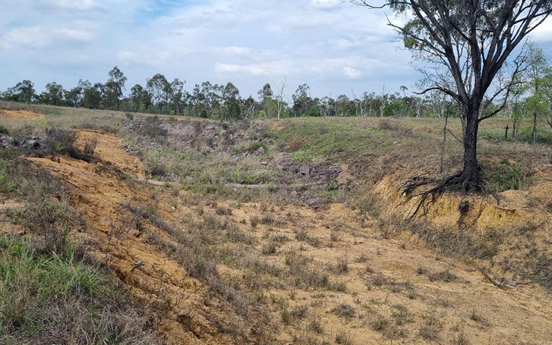
Vegetation establishment has been poor on the northern batters of the structure. Applied topsoil washed downslope followed by some of the highly-erodible subsoil. Monitoring will focus on the slopes (batters) on the northern side of the bywash where rills have formed, posing a risk for further erosion.
October, 2019 — looking upslope at the bywash and rock chute.
November, 2022 — the end of the bywash and rock chute.
The Scottville Cluster Group…
The Scottville Cluster completed the remediation work as part of the Landholders Driving Change project (2017-2020).
The sites are being monitored as part of the Burdekin Major Integrated Project — Gully Maintenance and Monitoring project.
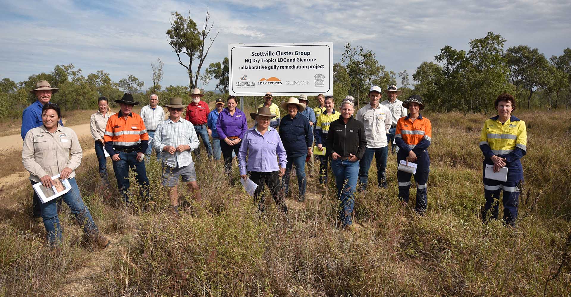
A group including landholders, local earthworks contractors and representatives from Glencore, Whitsunday Regional Council and Department of Agriculture and Fisheries (DAF) attended the Scottville Cluster Group field day. They are pictured at a sign near the six participating properties. acknowledging the partnership between the NQ Dry Tropics’ LDC project and Glencore. READ MORE…
Watch the video about the group of half a dozen properties that formed the Scottville Cluster Group banding together to tackle problem gullies too big for a landholder to fix on their own.
