Burdekin Major Integrated Project — Gully Maintenance and Monitoring at TODSURE
Hands-on approach in design and execution pays dividend
The Site
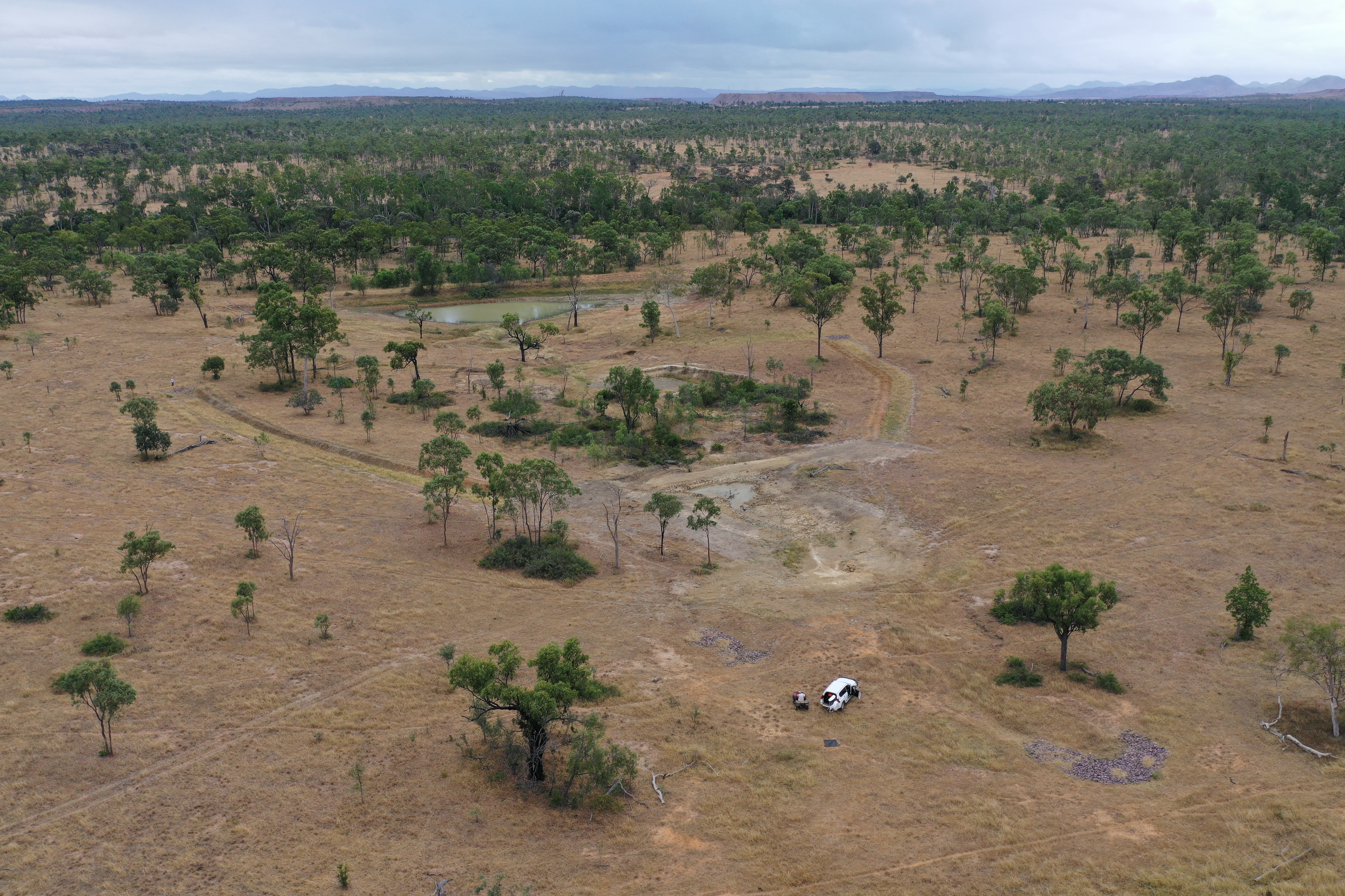
Three sites were remediated on Todsure. This feature focuses on Site Two.
This site consisted of a gullied drainage line that ran into Todsure Dam. During the wet season surface water runoff gouged this drainage line and flowed into the leaky dam before flowing into the creek. It was important to fix the drainage line, as well as the dam.
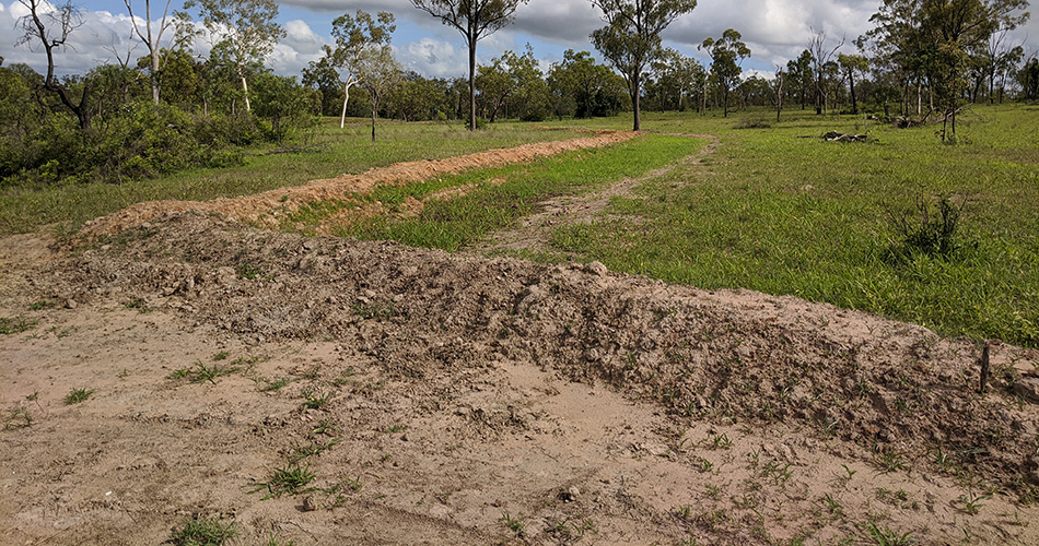
A small new dam was constructed over the main gully head, using diversion banks, water spreading structures and pasture reseeding to manage and divert surface runoff feeding the gullied section below the new dam.
This site was remediated with two diversion banks, 100-10m in length, 2.5m wide, on a 1 in 300 slope. Bank mounds were left flat on top to let rain soak in. Exposed bank subsoil and reshaped areas were spread with topsoil and then hand sown with bags of Reclaimer Rhodes Grass and Tropical blend (Buffel grass, Jap rye, Seca).
The existing dam below the gully will eventually be filled and reshaped to rehabilitate the area and allow water to shed more safely downstream.
One of three sites remediated on Todsure — Site 2.
For Barry, a problem shared is a solution that just got doubled
Barry Collett’s unique position as owner operator of an earthworks business, and manager of Todsure, the family business, meant he could take advantage of his experience to undertake the remediation works and subsequent maintenance works.
It was important to Barry to adopt a “hands on” approach to remediation efforts. He was keen to learn more about what was involved during the design phase of remediation projects.
He played a key role in the design of this site, putting forward an alternative design that cost less than the original design by eliminating the need for a rock chute structure. Instead, he constructed a new dam over the main gully head, using diversion banks and water spreading structures.
Barry is a strong advocate for grazing peer-to-peer groups. He was an active participant in the Scottville Cluster, a group of six neighbouring properties who banded together to tackle small-scale gully erosion problems, sharing knowledge, skills and resources.
‘There’s no point in being part of a trial or a project if you’re not going to share what you’ve learned with others.’
He was the nominated spokesperson for the group at various events, and hosted multiple field days and the Landholders Driving Change (Phase 1) steering committee.
“There’s no point in being part of a trial or a project if you’re not going to share what you’ve learned with others,” Barry said.
“If we want to see practice change and improved land condition across the catchment, then we need to be talking to one another, finding out what’s worked well for someone else.”
“It’s been great to share information with other graziers, and I’ve enjoyed visiting other sites and seeing what’s worked well.
“It’s provided the chance to discuss different perspectives of managing cattle and pasture, I personally have found that to be very beneficial and useful.
“I’ve picked up a lot of things and I’m more confident with how to manage cattle for the dry periods.
“Remediating this site has enabled us to increase pasture in this paddock by 15 plus acres. The benefit of gaining that against a little bit of maintenance, there’s no comparison.”
Barry said undertaking several remediation projects across the property had taught him about the importance of ongoing maintenance.
“When we started, we didn’t put in place any maintenance program. We thought once the site’s regenerated, that’d be the end,” Barry said.
“But years on, we are finding we do have to maintain them. You can’t just walk away and leave it and hope that nothing happens because after one large rain event, something can happen, like a breach in a diversion bank.
“Maintenance suddenly becomes a top priority, and you have to get in and fix it straight away because it can turn into something big, quite large, quite fast.
“Maintenance is key. We’ve gone from fixing a problem to now doing small things to prevent erosion from the treated site happening again.”
Barry’s observations around construction and maintenance issues and adapting grazing land management are captured in these Walking the Landscape videos.
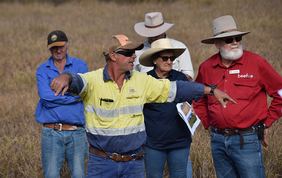
Barry Collett, at front, a member of the Scottville Cluster Group, explains erosion control works he carried out on Todsure. He is pictured with, from left, Carl Groocock, Three Mile, NQ Dry Tropic’s Dan Hazelman, Isabel Sloan, Hillview, and DAF’s Bob Shepherd.
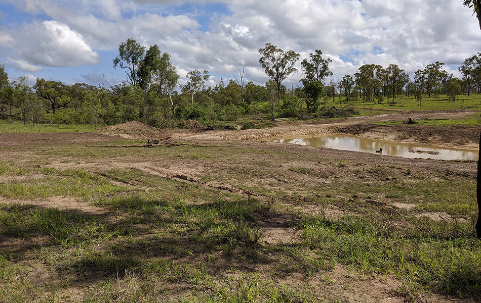
A newly-constructed wall holding back water after a February 2020 rain event.
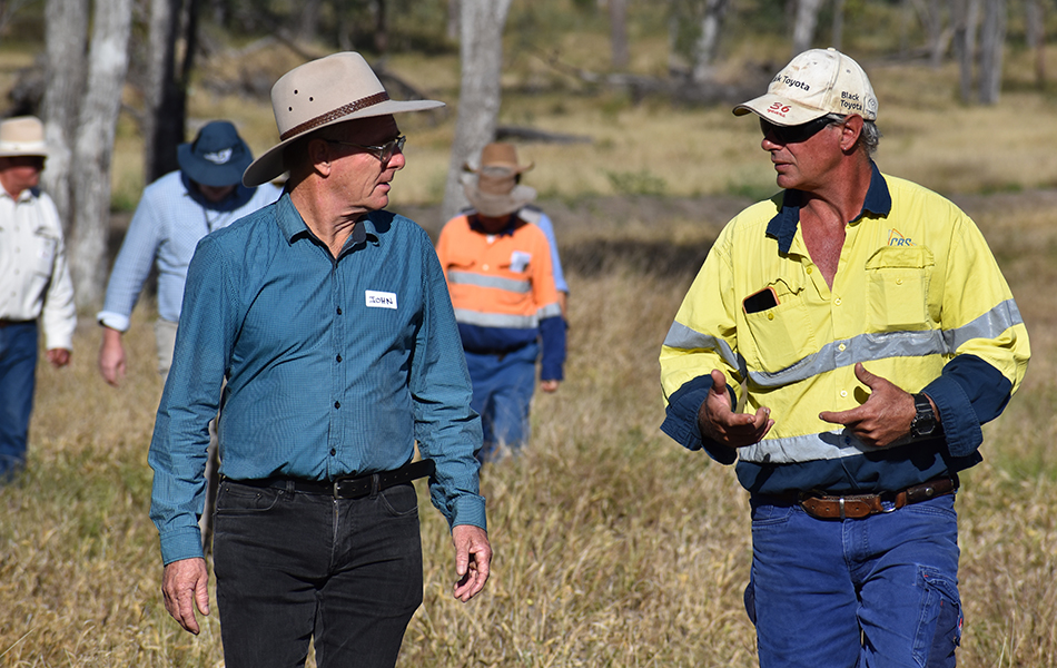
Todsure grazier Barry Collett explains the aim of the water control structures to Prof John Rolfe regional economic development Central Queensland University who was a member of the Landholders Driving Change Steering Committee.
Walking the Landscape video series
Ripping for seeding
Repair and maintenance
Grazing Land Management
Landholder observations
- slopes greater than 3 per cent are difficult to re-establish vegetation on. For these slopes you’d need enough topsoil or substitute to cover the whole disturbed areas about 200mm thick. Without this protection the sloped subsoil will continue to erode, preventing plants from establishing.
- If slopes are less than 3 per cent then earthworks by a skilled operator may reverse erosion, because they can be successfully revegetated.
- Revegetation is essential following earthworks. This may involve mixing gypsum with 100-200mm of subsoil, spreading topsoil with grass sod, spreading mulch such as hay, seeding and watering until plants are established.
Grazing land management
- Stock exclusion is necessary until earthworks have stabilised and vegetation established.
- Light stocking rate is aiding improvement of land condition.
- Grazing has been reintroduced to the paddock by way of repeated short duration grazes, and is based on forage availability.
- Observe stock movement following remediation. A water point will be moved because pads converge at the current water point; (pads upslope of a water point concentrate run-off towards the water point, while pads downslope spread run-off).
- The long term aim is to gain grazing land and to restore land function.
Monitoring
The site is being monitored to evaluate effectiveness of treatment.
It’s monitored each year in the post wet season (April-July).
Site monitoring applies industry standard tools Land Condition Assessment Tool advanced (LCAT) and Gully Maintenance Tool (GMT). These tools enable finer scale changes to be measured over time.
- Land Condition Assessment Tool advanced (LCAT)
A minimum of two LCATS are carried out immediately upslope of the gully, in the base of the rehabilitated gully, and opportunistically depending on local conditions.
LCATs indicate many biophysical aspects demonstrating the process of gully stabilisation. - Gully Maintenance Tool (GMT)
GMT surveys take into account a range of biophysical elements including gully head movement, treatment type, treatment stability, ground cover and composition, species, rainfall, and photopoints targeting key gully and erosion features.
Landholder feedback about stocking data and environmental influences such as rainfall is also collected.
A 250m long wall helps to divert fast-flowing water and keep it in the landscape.
