Burdekin Major Integrated Project — Gully Maintenance and Monitoring at RIVERVIEW
Erosion repair close to property boundary succeeds in holding water
The site
(Completed 2020)
Erosion repair works were undertaken at a multi-branched gully in black soil. This included:
- Construction of a rock drop chute to reduce water velocity to reduce and stabilise the grade of the gully floor, and four diversion banks with adjacent level sills to spread potential bywash flows evenly into stable grassed areas.
- Minor headcut stabilisation at the most upstream extent of the gully to slow potential migration of the gully head towards the property fence and access track.
Importantly for this site, the property boundary is less than 30m up catchment from the most up-catchment gully head.
It means the landholder has little influence over the contributing catchment to the gully so is unable to influence run-off rates through the implementation of common strategies such as ripping or improving ground cover through grazing management.

Actively eroding black soil gullies were treated at Riverview Station.
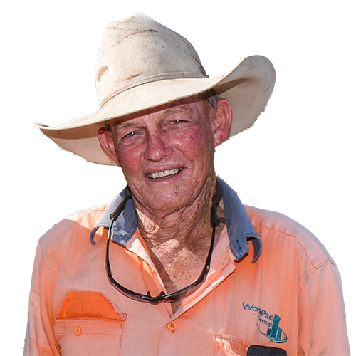
Paul’s assessment
The diversion banks are working well. Water is now being held in the landscape improving water infiltration.
When other areas on the property have dried out, the area around the banks maintain good ground cover. You see the water ponding for a long time following rain, so you know it’s staying in the landscape.
It also shows the value of having a design developed by experts to work out what’s appropriate action for the site.
I learnt a lot about the design process.
Grazing land management
- Light grazing to promote ongoing land condition improvement.
- Long term plan is to allow the paddock to renew, building native grass populations.
Landholder observations
Rehabilitation benefits
- Water ponding is working well, the slow flow of water across the landscape is encouraging water infiltration, pasture is staying greener for longer, and the paddock is maintaining ground cover when other areas on the property have died out.
- Expect to see improvements in soil and pasture health in the future.
Monitoring
The site is being monitored to evaluate effectiveness of treatment.
It’s monitored each year in the post wet season (April-July).
Site monitoring applies industry standard tools Land Condition Assessment Tool advanced (LCAT) and Gully Maintenance Tool (GMT). These tools enable finer scale changes to be measured over time.
- Land Condition Assessment Tool advanced (LCAT)
A minimum of two LCATS are carried out immediately upslope of the gully, in the base of the rehabilitated gully, and opportunistically depending on local conditions. LCATs indicate many biophysical aspects demonstrating the process of gully stabilisation. - Gully Maintenance Tool (GMT)
GMT surveys take into account a range of biophysical elements including gully head movement, treatment type, treatment stability, ground cover and composition, species, rainfall, and photopoints targeting key gully and erosion features.
Landholder feedback about stocking data and environmental influences such as rainfall is also collected.

NQ Dry Tropics Civil Works Coordinator Damian Flintham (left) with Soil Conservation Officer Bernie Claussen and Riverview Station grazier Paul Rowe.